
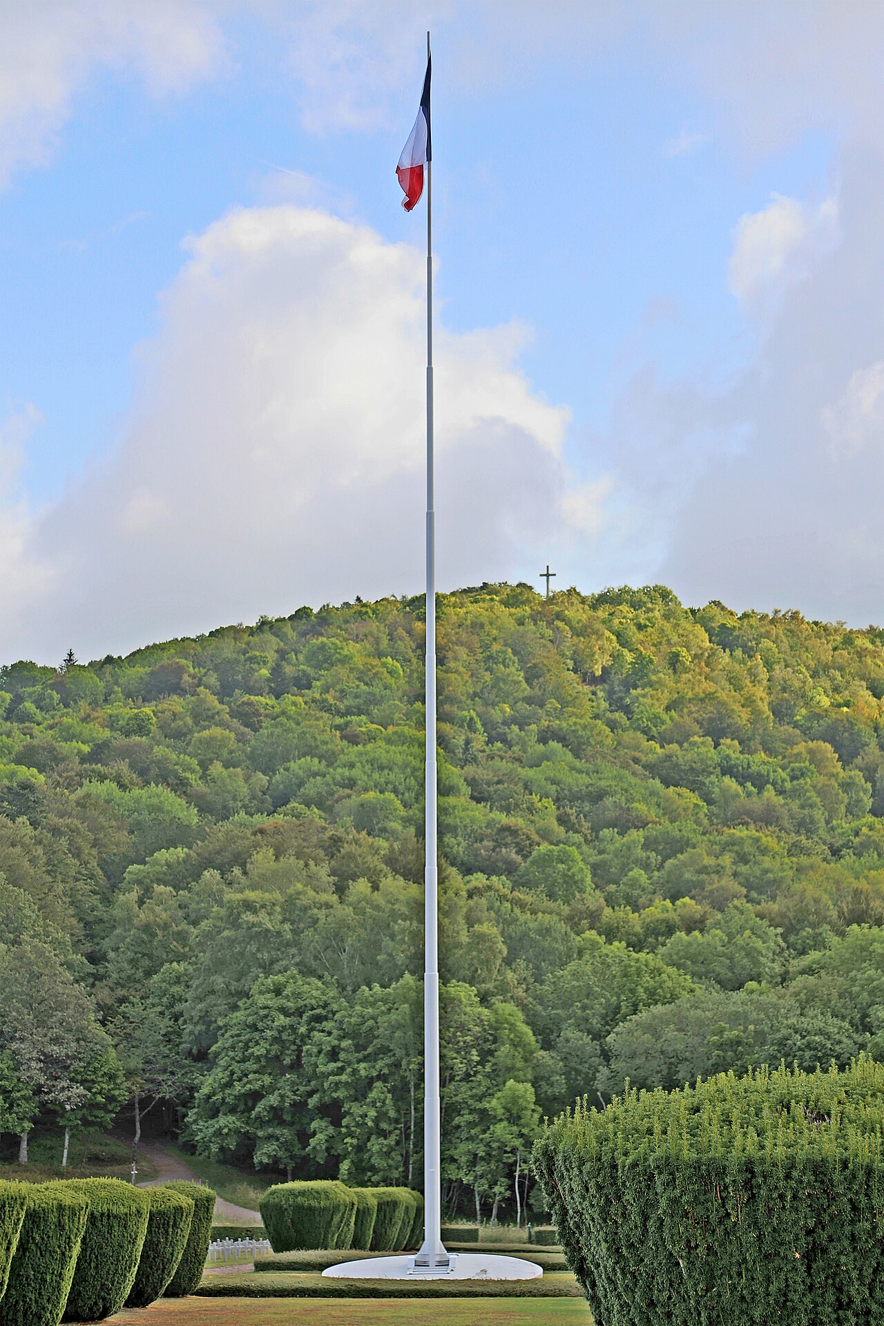
Built during the First World War for strategic communication and logistics, the Route des Crêtes is a 77 km panoramic drive commonly mapped from Cernay to Col du Bonhomme. It links Grand Ballon, Markstein, Hohneck and Col de la Schlucht along the Vosges ridge.
77 km route and map
From south to north, the main reference points are Cernay and Uffholtz, Grand Ballon, Markstein, Hohneck, Col de la Schlucht and Col du Bonhomme. Some maps extend the route towards Sainte-Marie-aux-Mines.
The 77 km figure covers the standard tourist drive, not summit walks, scenic detours or the approach from La Bresse. From La Bresse, the most direct entry is Col de la Schlucht. Check the current road map before setting out because winter closures and temporary restrictions can change the usable route.
Must-stop locations
The Grand Ballon (1,424 m)
Highest point of the Vosges at 1,424 metres. The final approach to the summit is on foot from authorised parking areas.
The Markstein
Family ski station in winter, hiking hub in summer. Several uplands where Vosges cows graze freely.
The Hohneck (1,363 m)
Major 1,363-metre summit and start of several hikes. Check visibility and wind before choosing a route (see our Hohneck guide).
Col de la Schlucht
Historic pass between Alsace and Lorraine, with services, hiking starts and public-transport connections. See our Col de la Schlucht guide.
Farm-inns to try
The road is dotted with farm-inns serving local dishes. Opening days and services vary, so contact the establishment and book before planning the day around a meal.
A traditional marcaire meal may include tourte, smoked meat with mountain potatoes such as tofailles or roïgabrageldi, Munster cheese and blueberry tart. Menus and prices vary by farm-inn; check the current menu rather than relying on an old online price.
Road tips
- Check road access and temporary restrictions on the day
- Start early during busy summer periods
- Pack a windproof layer because ridge conditions differ from the valley
- Use designated parking rather than stopping beside the carriageway
Combine with La Bresse
La Bresse is a practical base for reaching Col de la Schlucht, then choosing a shorter day around Hohneck or a longer outing towards Markstein and Grand Ballon. Avoid adding stops without allowing for walking time and the return journey.
Travel without a car: the Navette des Crêtes
The Navette des Crêtes ran from 30 May to 27 September 2026, and the 2026 season is over. As of 6 October 2026, the Massif des Vosges and the La Bresse tourist office publish only the 2026 map and information: 2027 season dates to come, not yet announced.
In 2026, route 88R003 linked La Bresse with Col de la Schlucht, where summit route 68R095 provided onward connections according to the timetable. Our Navette des Crêtes guide keeps the 2026 fares, bicycle rules and planning advice, to be reconfirmed once the 2027 calendar is published.
Where to stay
See accommodation options in La Bresse and choose a departure time that matches the route and planned stops.
Nearby reads
The La Bresse guide, summer edition
Trails, lakes, blueberries and farm inns, in one free PDF.
Your details are used only to process this request. Privacy policy (in French).
Free PDF, no newsletter sign-up.
Frequently asked questions
Is the Route des Crêtes open year-round?
No. Sections are closed by official order during the winter according to conditions. Check current road information before setting out.
How long should I plan for the Route des Crêtes?
For the full traverse with stops, count a full day. With hikes and a farm-inn stop, spread it over 2 days with a night in La Bresse or at col de la Schlucht.
What's the highest point?
Grand Ballon is the highest summit in the Vosges at 1,424 metres. Access to the summit continues on foot from the authorised parking areas.
Can you cycle the Route des Crêtes?
Yes, but choose the exact section according to your level and check its elevation profile. An early start helps reduce exposure to peak summer traffic.
Is it family-friendly by car?
Yes, provided the number of stops is adapted to the day. Weather and visibility can change quickly on the ridge, including in summer.
Can you explore the ridge without a car?
Yes, during the Navette des Crêtes season. In 2026 it ran from 30 May to 27 September and that season is over. The 2027 dates were not yet published on 6 October 2026: the Massif des Vosges and the La Bresse tourist office show only the 2026 map.