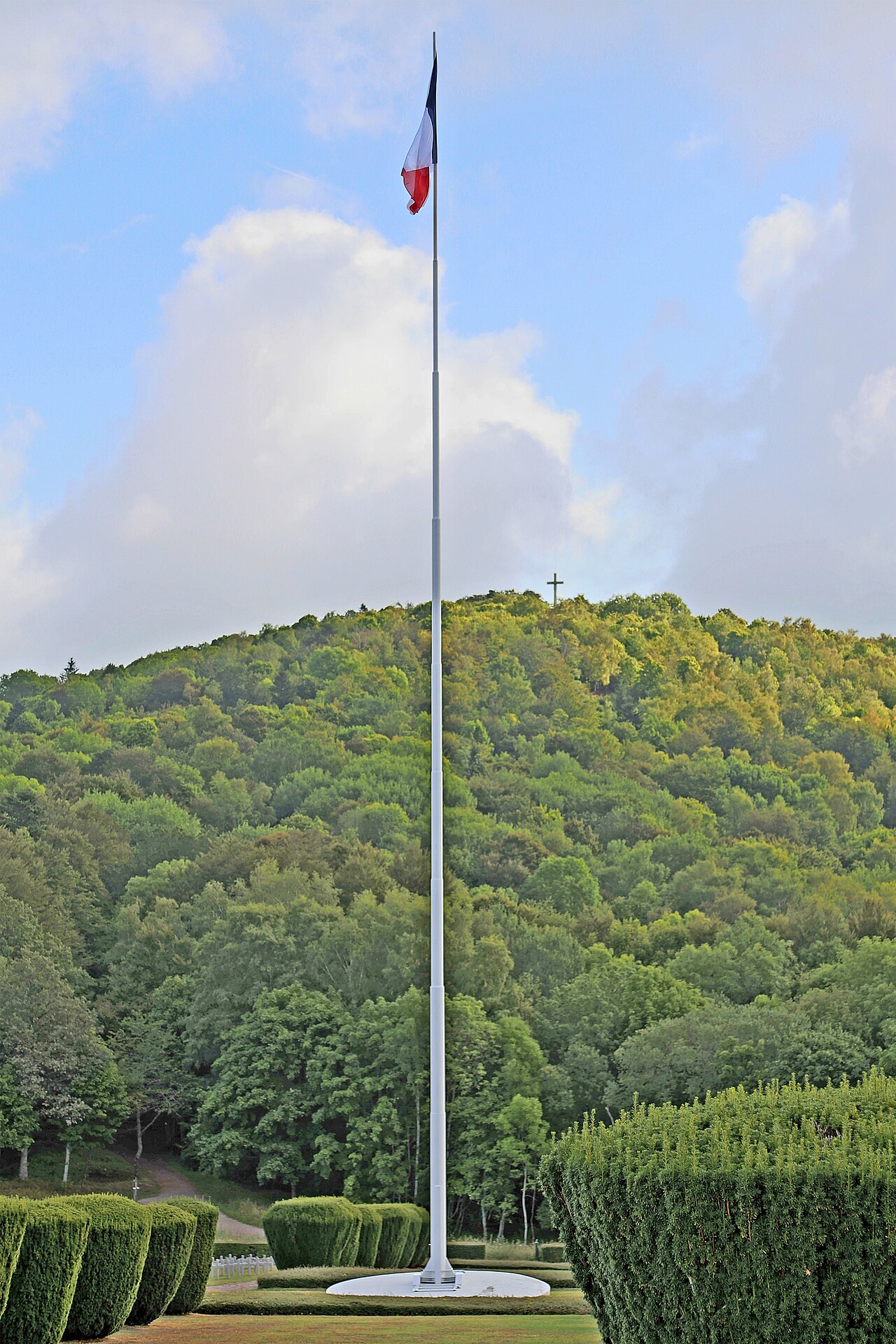
Before heading up to the Hohneck, driving to the Gérardmer lake or setting off toward Lispach, a recent webcam image and an up to date forecast save quite a few wasted trips. This guide brings together the official webcams and weather sources for the massif: La Bresse, Gérardmer, Lispach and the ridges, and explains how to cross-check them rather than relying on a single image.
The La Bresse webcams, from the village to the Hohneck summit
The official La Bresse webcam page groups around ten views across the municipality and its surroundings: the town centre, the La Bresse-Hohneck snow front (910 m), the Haut de Vologne (1181 m), the Haut d’Artimont (1200 m), the Haut Chitelet (1260 m), the Lispach nordic ski area (909 m), the Lispach alpine ski area, the Hohneck summit (1363 m), the Chajoux valley and the Croix des Hêtres area in Vagney.
The point of this spread is simple: the town centre webcam says nothing about conditions on the ridges. Clear skies in the village can coincide with low cloud or wind on the Hohneck. Before a hike at altitude, check the Haut Chitelet or summit images instead, since they show conditions directly at the spot you are heading for.
For a low altitude forest activity, a recent image is often enough to decide, though not on its own in every case: for the treetop adventure park in La Bresse, the day’s opening conditions are best checked with the park directly, information no webcam can provide. A phone call before making the drive stays the most reliable option here.
The Gérardmer webcams and the Col de la Schlucht crossing
On the Gérardmer side, the joint tourist office Gérardmer Hautes Vosges publishes six webcams: a view of the town and lake, a view centred on the lake, the alpine ski area’s snow front, the Tétras slope, the Bas-Rupts nordic ski area and the Col de la Schlucht.
This last webcam is useful well beyond skiing: the Col de la Schlucht is a crossing point between the Lorraine side of the massif and the Munster valley, often used alongside a stay in La Bresse or Gérardmer. Checking the image before setting off in winter or in uncertain weather shows the actual state of the road and visibility on the heights, before heading over from Germany, Belgium or, more simply, from Paris.
Weather: which source to check depending on location and altitude
Three types of sources complement each other, each with a different use.
The Météo-France forecasts by commune give the trend a few days out for a specific point (La Bresse village, Gérardmer, or a mountain point such as La Bresse at 1350 m). Compare the village forecast with the altitude one whenever your trip changes level, the two can diverge sharply on wind and rainfall.
The Gérardmer tourist office weather page offers a few days forecast for the town, with a detail that is useful and rarely available elsewhere: the lake temperature, concrete information for anyone planning a swim or a water activity rather than a hike.
The Météo-France Vigilance for the Vosges flags dangerous phenomena (wind, storms, rain-flooding, snow-ice) at the department level. Under orange or red vigilance, or as soon as a storm is forecast on the ridges, it is better to postpone the trip at altitude rather than rely only on a sunny image taken an hour earlier.
Reading a webcam properly before you go
A webcam image has one simple limit: it shows a moment, not a trend. Three habits help avoid bad surprises.
First, check the time of the last image if it is shown: a capture from the evening before tells you nothing about morning conditions. Then, cross-check the webcam with the day’s forecast, especially for wind and storms, two things a still image cannot show. Finally, if your route changes altitude (starting in the valley, finishing on the ridges), open a webcam at each level rather than a single general view.
This habit applies just as much to a hike toward the Hohneck as to a simple day by the Gérardmer lake or a trip toward Lispach: the best time to set off comes from cross-checking the day’s image with the forecast, not from guessing off a single source.
Planning the rest of your stay
- Weather in La Bresse: forecast, climate and snow cover
- Treetop adventure park in La Bresse
- Getting to La Bresse from Paris
- Getting to La Bresse from Belgium
- Chalets in La Bresse
The 2026 La Bresse guide, ready to download
Access, activities, hikes and useful addresses in one free PDF.
Your details are used only to process this request. Privacy policy (in French).
Free PDF, no newsletter sign-up.
Frequently asked questions
Which webcams should I check before heading up to the Hohneck?
The official La Bresse webcams cover the Haut de Vologne (1181 m), the Haut Chitelet (1260 m) and the Hohneck summit (1363 m), along with views of the village and the snow front. Compare them with the town centre webcam: the ridges can sit in cloud while the valley stays clear.
Is there a webcam for the Gérardmer lake?
Yes. The webcam page of the Gérardmer Hautes Vosges tourist office shows a view of the lake and town, a view of the alpine ski area's snow front, and an image of the Col de la Schlucht.
Where can I check the weather before a trip between La Bresse and Gérardmer?
Compare the Météo-France forecast for the relevant village with the mountain point at 1350 m if you are heading up to the ridges, then check the Météo-France Vigilance warnings for the Vosges in case wind or storms are forecast before setting off.