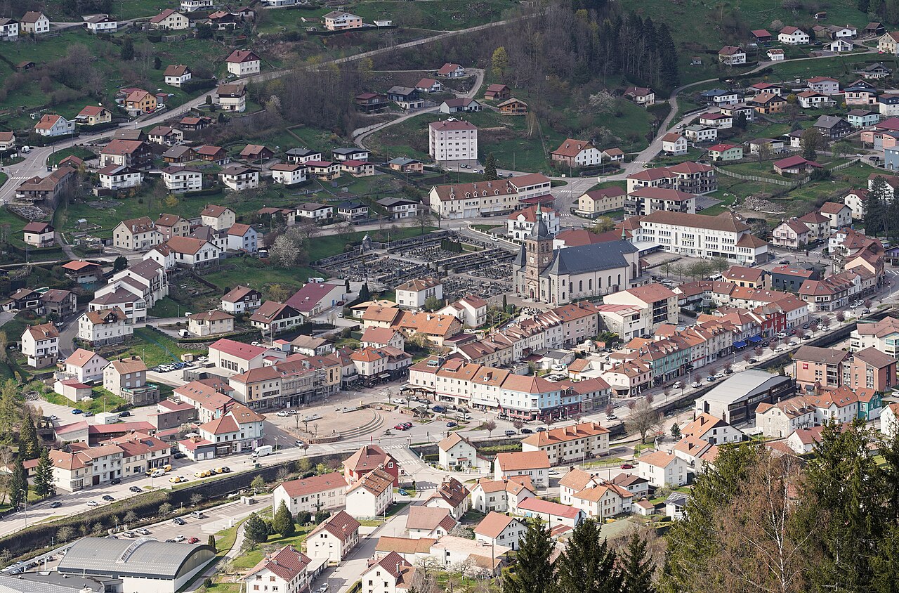
Leaving La Bresse without driving
In summer 2026, Esti’Van and Esti’Lac connect the village with five hiking trailheads. The routes, distances and waymarks below are those published by the La Bresse tourist office.
The service avoids searching for parking at the lakes or higher in the mountains. It does require choosing a route in advance and matching the walk to the return timetable.
Summer 2026: five walks using Esti’Van and Esti’Lac
From 11 July to 23 August 2026, Esti’Van and Esti’Lac run every day. Both lines are free and leave near the EHPAD La Clairie at 27 rue de la Clairie. The tourist office describes five specific walks from their stops:
| Shuttle stop | Official walk | Distance | Indicative time |
|---|---|---|---|
| Stop 3 – Lac des Corbeaux | Road option or route via Étang de Séchemer | 6.3 km or 7.6 km | about 2 hours |
| Stop 5 – Lac de Blanchemer | Climb followed by a circuit of the lake | 4.3 km | about 1 hour 20 minutes |
| Stop 6 – La Bresse-Hohneck | Tourbière des Feignes boardwalk area | 2 km | about 30 minutes |
| Stop 8 – Lac de Lispach | Lake circuit with sections of boardwalk | 2 km | about 30 minutes |
| Stop 11 – Auberge des Skieurs | Loop via Moyenmont and Collet de l’Étang | 8.5 km | about 2 hours 30 minutes |
The Corbeaux route has 356 to 442 metres of ascent, depending on the option; the Auberge des Skieurs loop has about 400 metres. The Feignes and Lispach circuits are much shorter, but they remain natural paths. Lispach’s boardwalk sections can be slippery when wet.
Esti’Lac goes directly to Lac des Corbeaux. Its access road is closed to motor traffic from 12:30 to 17:00, except for the stated disabled-access exemption. Use our Lac des Corbeaux shuttle guide to plan the return. To compare the two shorter nature walks, read the Lac des Corbeaux guide and our page on the Lispach peat bog.
Timetables can change, so open the official summer shuttle page before setting out.
Vosges waymarking : understanding the signs
Vosges waymarks combine a shape and a colour. Do not infer the difficulty or destination from colour alone. The official shuttle walks demonstrate the system: a green triangle towards Corbeaux, a blue triangle towards Blanchemer, a green ring at Les Feignes, a yellow ring at Lispach and several symbols on the Auberge des Skieurs loop.
Photograph your route’s symbol at the start and check it at each junction. A downloaded offline map supports the waymarks when mobile reception or visibility deteriorates.
Choosing the right route
The two 2 km walks at Les Feignes and Lispach are the shortest. Blanchemer is 4.3 km. The two Corbeaux options cover 6.3 or 7.6 km, while the Auberge des Skieurs loop is 8.5 km. These figures help compare the routes but do not describe every terrain or weather condition.
A short distance does not make a route accessible to everyone: these are natural paths and Lispach includes boardwalk sections. Ask the tourist office before choosing if a participant has limited mobility.
Checks before departure
- open the timetable for that day and identify the last useful return;
- note the outbound and return stop numbers;
- save the shape and colour of the selected route’s waymark;
- check the weather and adapt footwear, clothing, water and sun protection;
- remain on the published route and follow any closure or instruction displayed locally.
The official shuttle walk ideas page describes all five routes. The summer shuttle page remains the reference for timetables and service updates.
The La Bresse guide, summer edition
Trails, lakes, blueberries and farm inns, in one free PDF.
Your details are used only to process this request. Privacy policy (in French).
Free PDF, no newsletter sign-up.
Frequently asked questions
Can you really hike without a car from La Bresse ?
Yes. From 11 July to 23 August 2026, the free Esti'Van and Esti'Lac shuttles link La Bresse with the trailheads of five walks published by the tourist office.
Which shuttle walks are the shortest ?
The Feignes and Lispach circuits are each 2 km, with an indicative walking time of about 30 minutes.
Which proposed walk is the longest ?
The Lac des Corbeaux option via Étang de Séchemer is 7.6 km. The Auberge des Skieurs loop is 8.5 km and takes about 2 hours 30 minutes.
Where do Esti'Van and Esti'Lac leave from ?
Both shuttles leave near EHPAD La Clairie at 27 rue de la Clairie in La Bresse. Check the official timetable before setting out.