
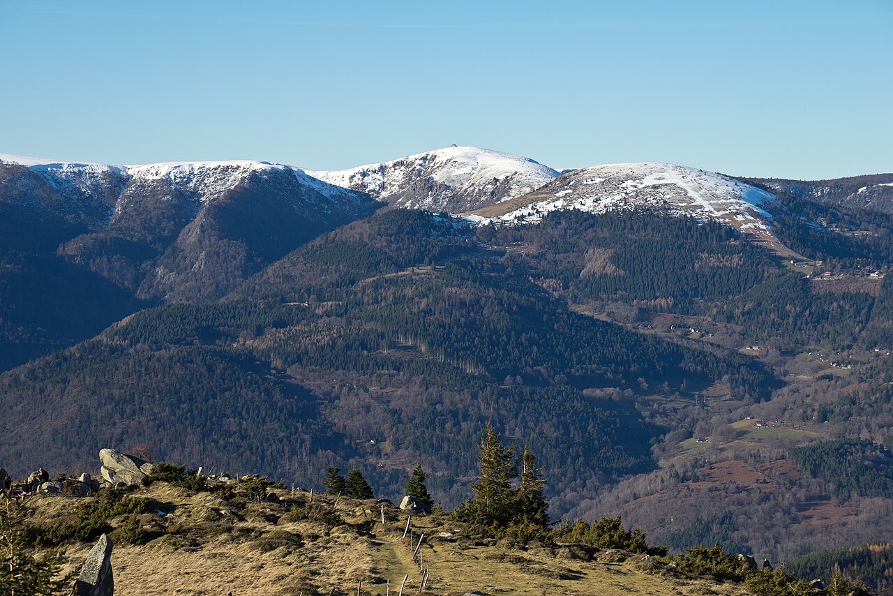
When a layer of cloud fills the valleys while the ridges stay in sunshine, it is called a sea of clouds. The La Bresse Hautes Vosges tourist office lists it among the reasons to visit in autumn and names four places to see it: the Hohneck summit, the Route des Crêtes, Chèvre-Roche in Vagney and Haut du Roc in Basse-sur-le-Rupt. Here is what their listings say, and what causes the phenomenon.
How a sea of clouds forms
It is made of low cloud, stratus, which forms under anticyclonic conditions with little wind and a temperature inversion, explain Futura-sciences and the Les Carroz resort. Cold, humid, heavier air stays trapped in the valleys; milder, drier air sits at altitude. The difference between the two can reach 10 to 20 °C. The blockage lasts from a few hours to several days, as long as the wind stays light. The phenomenon is therefore not guaranteed: check on the day itself, for instance on the Vosges pass webcams.
The Hohneck summit and the Route des Crêtes
The listing for the Hohneck viewpoint table describes a view over the Alsace plain, the Black Forest and, in clear weather, the Alps. The Route des Crêtes, 77 km long, passes the Grand Ballon, the Hohneck and the Col de la Schlucht. It is closed to traffic every year from mid-November for the whole winter period, says the tourist office: the road is therefore no longer open to traffic from that period. Our guide to the Route des Crêtes details the route.
Chèvre-Roche in Vagney
This site is protected by the Conservatoire des Sites Lorrains and is explored along a 1.5 km educational trail. It also serves as a launch platform for paragliders. The 7 bell towers viewpoint overlooks the Moselotte valley, across 7 communes, with the Ballon de Servance, the Ballon d’Alsace and, to the north, the Route des Crêtes as far as the Rainkopf and the Kastelberg. The listing also points out, underfoot, cemented sandstone pebbles from an ancient delta, and granite blocks pushed by glaciers up to the summit. The address is route de Chèvre Roche, in Vagney.
Haut du Roc in Basse-sur-le-Rupt
Haut du Roc rises to 1,013 m. This rocky summit rests on a granite base topped with a Vosges sandstone plateau strewn with erratic boulders carried by ancient glaciers. It is the highest point where Vosges sandstone is found, and a classified natural site. The view looks over the Rupt valley.
Before you go
Days are getting shorter: see our guide to winter time and sunrise and sunset in La Bresse. If you drive up after 1 November, the rule on winter tyres and chains applies, and in the forest the advice on hiking during the hunting season also holds for these trails. For the rest of the season, see the autumn colours in La Bresse.
The La Bresse guide, summer edition
Trails, lakes, blueberries and farm inns, in one free PDF.
Your details are used only to process this request. Privacy policy (in French).
Free PDF, no newsletter sign-up.
Frequently asked questions
How does a sea of clouds form?
Through a temperature inversion: cold, humid air stays trapped in the valleys and forms a layer of stratus, while milder, drier air sits at altitude. It needs anticyclonic conditions with little wind, according to Futura-sciences and Les Carroz.
Where can you see a sea of clouds around La Bresse?
The tourist office names the Hohneck summit, the Route des Crêtes, the Chèvre-Roche site in Vagney and Haut du Roc in Basse-sur-le-Rupt.
Is the Route des Crêtes open all winter?
No. According to the tourist office, it is closed to traffic every year from mid-November for the whole winter period.
Can you be sure of seeing a sea of clouds?
No. The phenomenon depends on the day's weather. The pass webcams give a preview of the sky before you set off.