Before heading up to the ridges at the end of the season, one question comes up often: how to check the real condition of a Vosges pass without being there. The tourist offices of La Bresse and Gérardmer broadcast webcams from several points at altitude around the massif, some of which are directly useful for judging snow or fog before setting off. This guide shows where to find them and how to read what they show, particularly as the first snow starts falling at altitude.
Where to find webcams for the Vosges passes
Two tourist offices publish webcam feeds covering the main points at altitude around La Bresse and Gérardmer.
The La Bresse tourist office offers ten webcams on its dedicated page (labresse.net/nos-webcams), with several points at altitude: the summit of the Hohneck (1,363 m), the Haut Chitelet (1,260 m), the Haut d’Artimont (1,200 m) and the Haut de Vologne (1,181 m), alongside views of the La Bresse Hohneck ski area, the Lispach cross-country area and the village centre.
The Gérardmer tourist office, for its part, broadcasts six webcams on its dedicated page (gerardmer.net/webcams.php), including one specifically for the Col de la Schlucht, alongside views of the lake, the town and the Mauselaine alpine ski area. This is currently the only officially identified webcam on this particular pass, which stands at 1,139 m according to the massif-des-vosges.fr listing.
No official webcam has been found on the passes further south along the Route des Crêtes (Markstein, Grand Ballon) as of writing. For these areas, the Hohneck and Chitelet webcams give an indirect indication, since they sit on the same ridge line and at a comparable altitude.
How to read a webcam image before setting off
A mountain webcam can be read with a few simple habits.
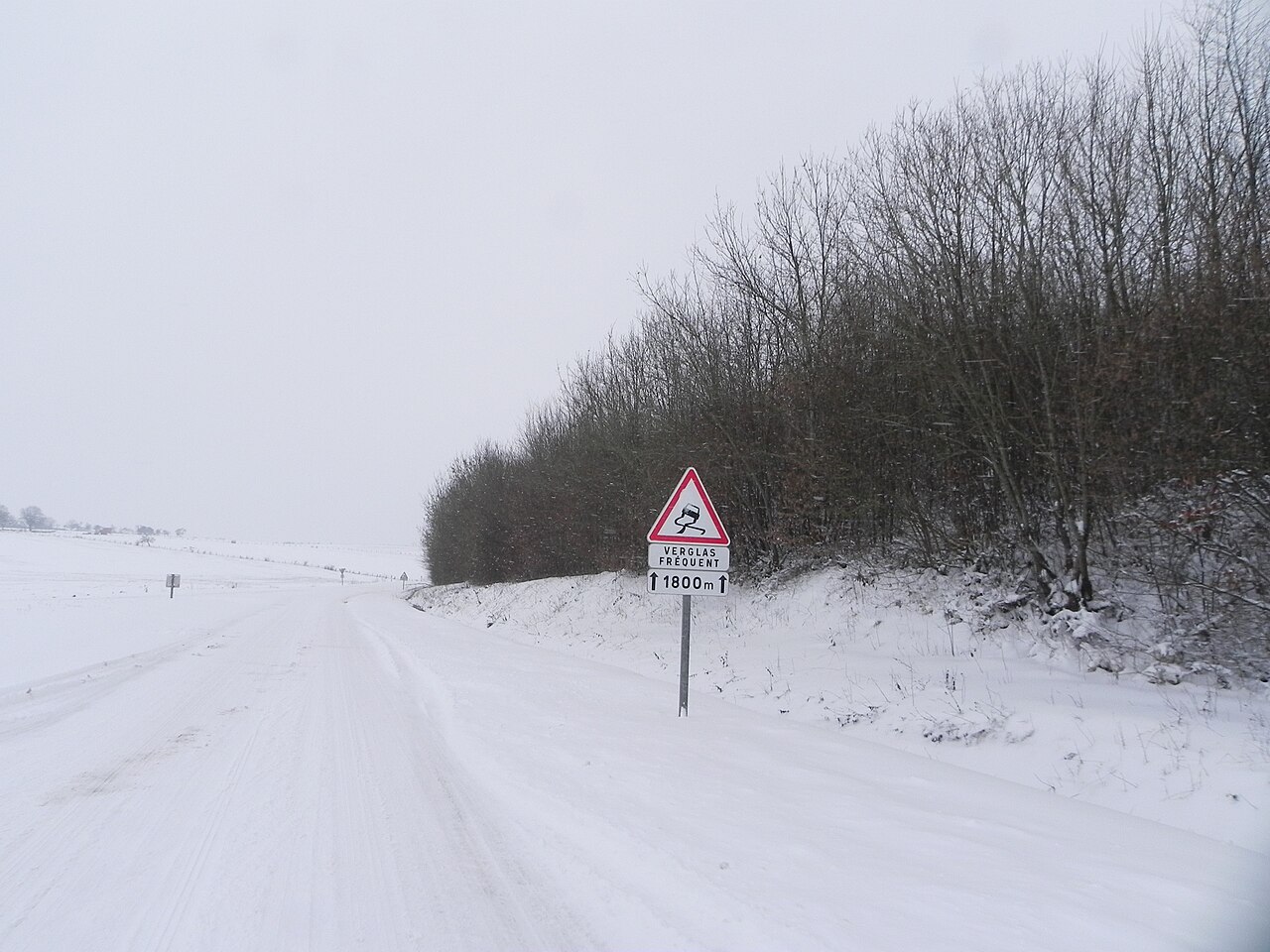
Look at the road surface, not just the scenery. An image might show a pretty white coat on the fir trees while the road itself stays clear, or the opposite: melted snow on the verges and a road surface that is still damp and icy in the shade.
Check the timestamp of the last image. Most feeds refresh at regular intervals, but the image shown can be several minutes old, or even from the previous evening if there is a connection fault. A sky that looks clear in the image says nothing certain about conditions at the time you actually set off.
Compare several points at altitude. If the Haut Chitelet (1,260 m) shows snow on the ground, there is a good chance it is also present on the Col de la Schlucht, which sits a little lower (1,139 m) but on the same side of the ridge. Conversely, a valley webcam such as the one in the centre of La Bresse tells you nothing about conditions at altitude.
Don’t confuse visibility with an official closure. A webcam shows a visual state, not an administrative status. Fog obscuring an image doesn’t mean the road is cut off, and a pass that looks clear can still be under a closure order. For this regulatory side, our Route des Crêtes guide details the seasonal closures and the points to watch during winter.
Anticipating the first snow rather than getting caught out
In the Hautes Vosges, the first snow at altitude generally falls before it reaches the valley floor, often as early as late October on summits above 1,200 m. Checking a ridge webcam becomes a useful habit before heading out, whether by bike or by car.
It’s the same logic followed by cyclists closing out their season on the Vosges passes by bike from La Bresse: the window from May to October gradually closes, and a summit webcam often gives the first visual signal before any official announcement. Outdoor activities at height, such as tree climbing in La Bresse, follow a similar seasonal pattern and generally close as winter approaches.
For visitors arriving by car from abroad or from Paris, a pass or summit webcam gives a concrete clue about conditions on the final stretch before La Bresse, alongside the practical information in our guides on getting there from Paris, from Belgium or from Germany. These are the same routes that sometimes pass close to the ridges or secondary passes depending on the itinerary chosen.
In practice before setting off
Checking a pass webcam doesn’t replace a standard weather check, but it adds information the weather alone doesn’t give: the actual visual state of the road at a given moment. The most effective habit is to cross-check three sources before setting off in autumn or winter: the webcam for the point at altitude closest to the planned route, the local weather for the next few hours, and the official closure information if the route uses the Route des Crêtes.
The La Bresse and Gérardmer webcams can be checked free of charge, without registration, directly on the pages listed above. They remain the quickest tool for judging at a glance whether snow has already reached the summits before loading up the car or getting the bike out.
The 2026 La Bresse guide, ready to download
Access, activities, hikes and useful addresses in one free PDF.
Your details are used only to process this request. Privacy policy (in French).
Free PDF, no newsletter sign-up.
Frequently asked questions
Where can I see the webcam for the Col de la Schlucht?
On the Gérardmer tourist office website (gerardmer.net, Webcams section), which offers a dedicated feed for the Col de la Schlucht alongside views of the lake and the Mauselaine ski area.
Is there a webcam at the top of the Hohneck or near the Chitelet?
Yes. The La Bresse tourist office (labresse.net/nos-webcams) broadcasts a webcam at the summit of the Hohneck (1,363 m) and another at the Haut Chitelet (1,260 m), a few kilometres from the Col de la Schlucht (1,139 m). Useful for estimating snow cover on this section of the ridge.
Is a webcam enough to know whether a pass is closed to traffic?
No. A webcam shows the visible state of the snow or fog at the moment of the last image, not the official opening status. For closures and traffic orders, see our Route des Crêtes guide.