
The GR5 in the Vosges is not, by itself, the entire “Traversée du Massif des Vosges”. The official long route starts on the GR53 and joins the GR5 at Donon. This distinction prevents the combined route’s distance, starting point and stage count from being attributed to the GR5 alone.
At European scale, FFRandonnée describes the GR5 as a 2,600 km route from Rotterdam to Nice, via Belgium, Luxembourg and Switzerland. This page focuses on its Vosges section and the access points officially documented near La Bresse.
Full GR5 and Vosges traverse: three different scopes
| Scope | What the official sources say |
|---|---|
| European GR5 | Rotterdam–Nice, about 2,600 km according to FFRandonnée |
| Traversée du Massif des Vosges | About 430 km, combining GR53 then GR5, presented in 19 stages by Massif des Vosges and around twenty days by FFRandonnée |
| La Bresse area | GR5 documented at the foot of Hohneck and on the ridge; central La Bresse is not presented as a direct stage |
The 11th edition of the Traversée du Massif des Vosges guidebook, published in May 2024, covers the GR5 and GR53. It is the reference for dividing the trek into stages: a web summary cannot replace its detailed route or field updates.
Vosges route and the different southern endpoints
In the north, the traverse starts at Wissembourg on the GR53 and crosses the Northern Vosges Regional Natural Park. It joins the GR5 around Donon, then continues through the central and High Vosges.
FFRandonnée documents a sequence through Le Bonhomme, Hohneck, Col du Herrenberg, Grand Ballon and Thann. Another federal suggestion continues through the Ballon d’Alsace, Giromagny and Belfort area. These landmarks show the north-south logic; they are not a ready-made stage plan.
The institutional sources checked do not use exactly the same endpoint:
- Massif des Vosges presents 19 stages ending towards Belfort;
- a July 2025 FFRandonnée article presents the traverse as continuing to Fesches-le-Châtel, beyond Belfort.
The difference may reflect the edition and selected extension. Before booking nights, choose one guidebook edition and plot its stages on a current map.
Where does the GR5 run near La Bresse?
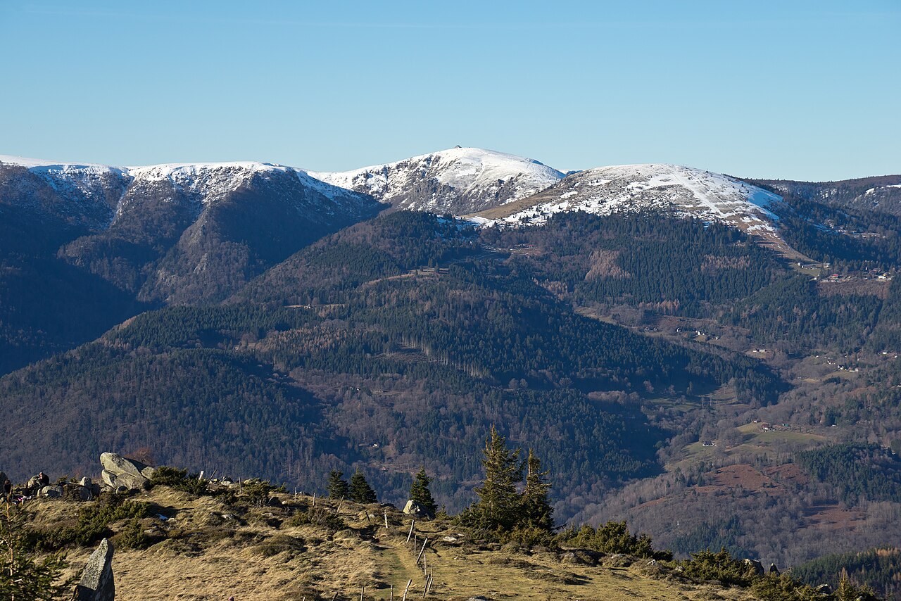
The La Bresse tourist office documents the GR5 at the foot of Hohneck, heading towards Rainkopf. The Regional Natural Park also confirms that the Col de la Schlucht–Hohneck walk follows the GR5 and its red-rectangle marking.
Two official options introduce this area without claiming to form a complete trekking stage:
- Col de la Schlucht–Hohneck return: 7.7 km, 2.5 hours and 250 m ascent according to the Park;
- Hohneck–Kastelberg snowfield trail: a local loop advertised at about 3 hours, first using the GR5 towards Rainkopf, then the GR531 and Tour de La Bresse path.
The tourist office states that the second loop is not passable in winter. Use the Hohneck hiking guide and Col de la Schlucht guide to choose a day walk.
These sources do not describe the GR5 as running through central La Bresse. If accommodation is in town or in a valley, explicitly plan the connection to the route and the return; do not treat that detour as official GR5 distance.
Waymarking: follow the red rectangle
In most of France, a GR uses red-and-white marks. The Vosges massif is a historic exception: FFRandonnée confirms that the GR53 and GR5 are marked with the Club Vosgien red rectangle.
The local code also distinguishes:
- the red rectangle for the main long-distance route;
- the white-barred rectangle for an access path, variant or extension;
- other shapes and colours for loops and local links.
An access marker does not prove that the walker has reached the main route. A map or guidebook remains necessary at junctions.
Planning stages and accommodation
The 19-stage and roughly twenty-day figures describe institutional proposals for the combined traverse. They do not set an individual walking pace. To prepare a section:
- start from the FFRandonnée guidebook edition being used;
- check the route and any changes with walking organisations;
- confirm the opening and conditions of each accommodation directly;
- plan entry and exit transport before booking it.
Old lists of refuges, inns or campsites become inaccurate quickly. This page therefore promises neither a particular establishment nor one booking lead time. For a night in the area, see accommodation around La Bresse and then verify the connection to Hohneck or the selected re-entry point.
Bivouac: check every location
The Ballons des Vosges Regional Natural Park distinguishes a bivouac from a camp left in place for several days. Its central point is that the rule depends on the site: permission is required on private land, while camping is banned in nature reserves and other protected areas.
The GR5 crosses several municipalities, properties and protected zones. A rule found for one area does not automatically apply to the next stage. Ask the manager, municipality or owner before selecting a location. The presence of a walking shelter does not, on its own, grant permission to camp.
Safety and equipment without a false universal season
The ridges near Hohneck are mountain terrain. FFRandonnée recommends checking weather and trail accessibility, carrying a map or guidebook, allowing a time margin, and matching footwear and clothing to the ground and conditions. Water, food, a charged phone, first-aid kit and survival blanket appear in its preparation guidance.
This page does not prescribe a universal season. A mild day in the valley can coincide with wind, fog, snowfields or a closure higher up. Shorten or abandon a stage if trail condition, visibility or fatigue no longer suit the plan.
For wider context, read about the Ballons des Vosges Regional Natural Park and the Route des Crêtes. The latter is a panoramic road itinerary, not the walking map for the GR5.
The La Bresse guide, summer edition
Trails, lakes, blueberries and farm inns, in one free PDF.
Your details are used only to process this request. Privacy policy (in French).
Free PDF, no newsletter sign-up.
Frequently asked questions
How long is the Vosges traverse using the GR5?
Massif des Vosges and FFRandonnée describe a route of about 430 km, in 19 stages or around twenty days depending on the source. That total combines the GR53 followed by the GR5; it is not the Vosges GR5 section alone.
Does the GR5 pass through central La Bresse?
The checked local pages place the GR5 at the foot of Hohneck and on the high ridge; they do not document a town-centre passage. A night in La Bresse therefore requires a planned connection and return to the route.
Which waymark should I follow for the GR5 in the Vosges?
In the Vosges massif, the GR5 and GR53 are exceptionally marked with the Club Vosgien red rectangle. A white-barred rectangle indicates an access path, variant or extension.
Where does the official Vosges traverse end?
Institutional presentations frame the southern exit differently: Massif des Vosges gives 19 stages to Belfort, while a 2025 FFRandonnée article extends the traverse to Fesches-le-Châtel. Follow the edition of the guidebook selected for the trip.
Is bivouacking allowed along the Vosges GR5?
There is no single permission covering the whole route. The Park says to check the land status, obtain the owner's permission on private land and respect bans in nature reserves and other protected areas.