The Col de Grosse Pierre rises to 954 m between La Bresse and Gérardmer. It’s a classic passage point for cyclists climbing from either valley, with a restaurant at the summit and two points of interest reachable on foot close by. Here is what the official listings say about the profile, the viewpoints and the addresses in the area.
Where the pass is and how to get there
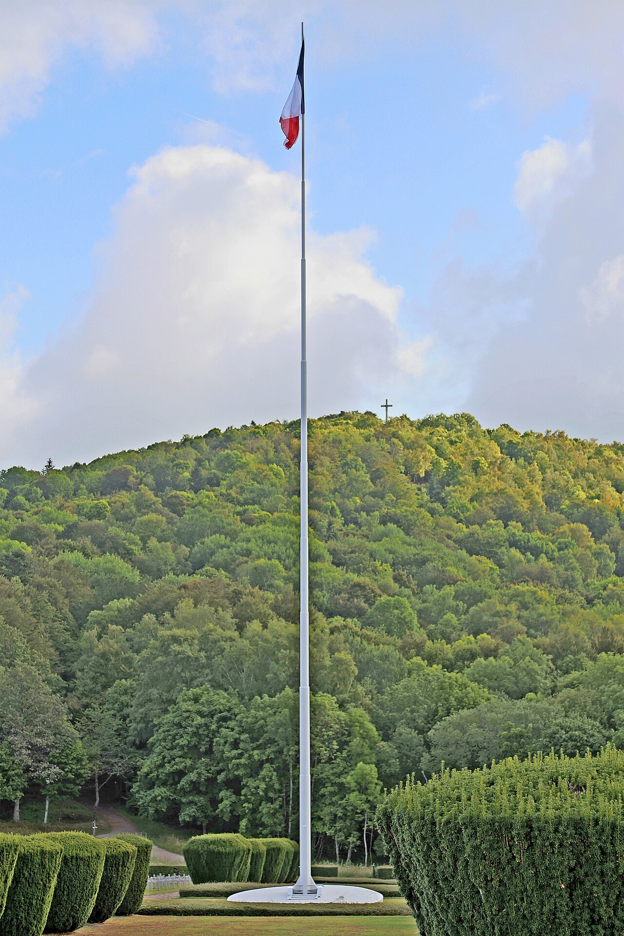
According to the official page from the Gérardmer Hautes Vosges Tourism Office, the Col de Grosse Pierre is “located at 954 m between Gérardmer and La Bresse.” The road crosses the ridge separating the two valleys: the Moselotte valley on the La Bresse side, the Gérardmer lake valley on the other.
A car park sits at the pass, just before a footbridge spanning the departmental road. It’s the starting point used by several waymarked routes, both on foot and by mountain bike.
The cycling profile, in both directions
The Col de Grosse Pierre forms part of the Boucle Cyclosportive B1 “La Route des 4 Cols”, a 114 km route published by Vosges Tourisme starting from Archettes, rated difficult, with an indicative time of 5h45. The route description covers a sequence of four passes over 28 km, following the 2014 Tour de France itinerary.
On this route sheet, an alternative is flagged on the way out of La Bresse: the chemin de la Roche, off to the left of the main road, listed at an average gradient of 7.5%, with a section reaching 16%. It’s the option for cyclists after the most direct, most demanding climb to the pass. The main road, less steep, remains the more comfortable way up to the summit.
On the Gérardmer side, access follows the road along the lake shore before climbing toward the ridge. None of the official sources consulted publish a kilometre-by-kilometre profile for this side: better to rely on your own cycling computer or a navigation app than on an unverified figure.
To place this pass among the other climbs accessible from La Bresse, our guide to the Vosges cycling passes compares the profiles of the Bramont, the Schlucht and the Grand Ballon. For a full historic climb with figures for all three sides, see the guide to the Ballon d’Alsace by bike.
The Moutier des Fées and the Bioqués viewpoint
West of the pass, on the ridge, stands the Moutier des Fées. According to the Vosges Tourisme page, these rocks, “located on the ridge west of the Col de Grosse-Pierre,” recall the silhouette of an old church, with a neighbouring formation nicknamed “the sacristy.” The name is said to come from the Lorraine dialect and a local legend of fairies who came to dance there. The site is now popular with climbers and remains freely accessible, via a waymarked path.
The site is also listed as a rock and quarry area on the official page, with no specific description of any current operation.
From the pass, a waymarked route (no. 3, marked in green) crosses the road via the footbridge on the Gérardmer side, follows the chemin de la Poussière, passes the Croix Claudé chalet and the Gérardmer Nordic ski area trails, before opening onto a view at the edge of the forest, at the place known as les Bioqués. The return leg drops back toward La Bresse with a clear view over the valley.
Restaurant and a stop at the summit
The restaurant l’Étable sits directly at the pass, at 65 B Col de Grosse Pierre, 88250 La Bresse. The official page from the La Bresse Tourism Office describes its cooking as “generous and refined, made with local produce,” with a 50 seat dining room and a 25 seat terrace looking out over the valley. Billiards and mini golf are available on site, and takeaway is possible. Contact: 03 29 25 96 67.
To compare with other farm inn style addresses in the area, before or after the climb, see our guide to farm inns around La Bresse.
Other activities starting from the pass
The pass isn’t reserved for road cycling. It also serves as a starting point for waymarked mountain bike routes, such as the Bois de la Poussière loop (No. 3, green markers) described above, check with the Tourism Office for other routes in the area. To place this route among the other mountain bike, gravel and road options around La Bresse, our guide to cycling, mountain biking, gravel and road in La Bresse covers the details.
Each summer, the pass also hosts the Montée Impossible, a motorbike competition that involves riding up a very steep slope against the clock. The format and exact dates are covered in our dedicated article on the Montée Impossible: this event temporarily closes access to the pass for cyclists, worth checking before planning a ride in July.
Planning a stay between La Bresse and Gérardmer
The Col de Grosse Pierre works well as a combined outing between the two towns. To plan a stay on the lake side, our guide to Gérardmer covers the activities and accommodation available 15 minutes from La Bresse. To mix things up over several days, our guide to the Tour du Hohneck mountain bike route offers a different, more technical terrain nearby.
Before setting out, whatever the activity, check the state of the road and any temporary closures (roadworks or events) with the relevant Tourism Office: the Montée Impossible takes over the site each summer.
The La Bresse guide, cycling edition
Bike park, mountain-bike and road routes, lakes for the break: the free PDF for the massif.
Your details are used only to process this request. Privacy policy (in French).
Free PDF, no newsletter sign-up.
Frequently asked questions
What is the elevation of the Col de Grosse Pierre?
954 m, according to the official page from the Gérardmer Hautes Vosges Tourism Office. The pass sits on the road linking La Bresse to Gérardmer.
Which road links La Bresse to Gérardmer via the Col de Grosse Pierre?
The departmental road climbing from La Bresse, with a steeper alternative, the chemin de la Roche, which joins the pass shortly before the summit.
What is there to see at the Col de Grosse Pierre besides the road?
The Moutier des Fées, a rock formation on the ridge west of the pass, the Bioqués viewpoint reachable on foot from the pass, and the restaurant l'Étable at the summit.